Harn Map Keys
 |
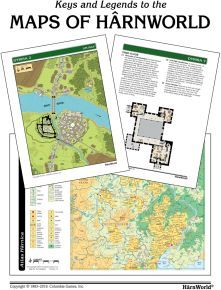
This free resource contains keys and legends to the maps of HârnWorld¸ including the Atlas Hârnica area maps¸ the local maps that appear in many HârnWorld settlement articles¸ and the floor plans that provide GMs with details of individual buildings.
The full-color Atlas Hârnica maps provide a vast amount of information¸ showing vegetation and topography¸ rivers and stream¸ roads and trails¸ towns and villages¸ and mines and quarries. The hex grid helps the plotting of movement and distance¸ while the numbered and lettered square grid is a handy reference to locate features described in the many HârnWorld articles.
Local maps cover small areas of special interest¸ such as villages¸ towns¸ or ruins. They show buildings and other details. GM Local Maps have the important details keyed and explained. On Player Local Maps¸ the numbers and other details are excluded. The amount of detail shown is roughly equivalent to what could be perceived by an observer at the location. Whenever PCs are at the site¸ the player local map may be laid out in plain view. Players may keep their own version as a memory map to record what they discover.
Interior plans show the inside of castles¸ keeps¸ taverns¸ temples¸ caverns¸ and other small areas. They include details such as the types and arrangement of furniture¸ doors¸ walls¸ stairs¸ etc. They may also be used to detail small outdoor areas. The scale is 1 mm = 1 foot. Interior plans are intended for use by GMs. They should be kept secret from the players¸ as they show details players are supposed to discover through exploration.