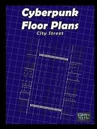
Floorplans: City Street
 |
Need a map of a City Street for your Interface Zero 2.0 game? We got you covered ami. This floor plan reveals a level of a generic apartment complex.
This map is available for printing in two options:
• A 24" x 36"or 36"x 48" map. These are "standard" miniature-ready maps¸ in which 1 square equals 1 inch¸ and each square represents 5 feet. These maps are ideal for throwing on the table and instantly playing¸ but not many people have large format printers in their homes. The maps can usually be printed at a copy shop relatively inexpensively.
• A series of pages that¸ when laid out correctly¸ form a single¸ complete map. This tiled version requires some invisible tape and scissors to put together. To tile a single wide-format sheet¸ we suggest using a great feature of Adobe Reader X¸ known as the tile function. (File>Print. Under the drop down menu titled "Page Scaling" select "Tile Large Pages"). This will allow you to print a series of 8.5" × 11" pages and assemble them
In putting together these maps¸ GM flexibility was at the forefront. Using the layers feature of Adobe Reader X™ (View>Show/Hide>Navigation Panes>Layers) several features found on the map can be turned on or off such as:
• Labels
• Furniture
• Grid
• Walls
• Any/All of the above
Note: when a layer is turned off¸ the contents of that layer will not be present when printing. In other words¸ what you see on the screen is what will be printed.